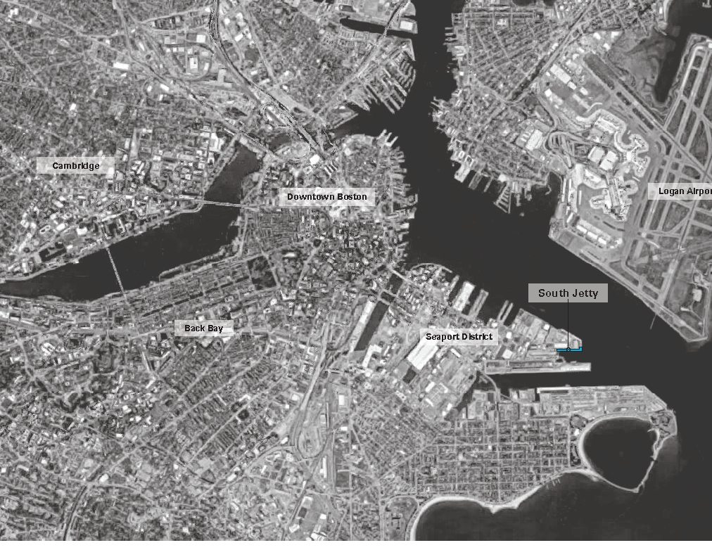
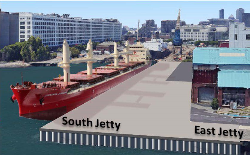
The Raymond L. Flynn Marine Park (RLFMP) North, South, and East Jetties were originally constructed in the 1940’s and were used for cargo ship loading/offloading for decades. By the 1990’s the structures had significantly decayed and portions had begun to collapse.
Extensive repairs were performed in 1996, demolishing the collapsed 320 feet of the South Jetty, and removal and replacement of the deck structure and pile encasements for a cost of about $14.5 million.
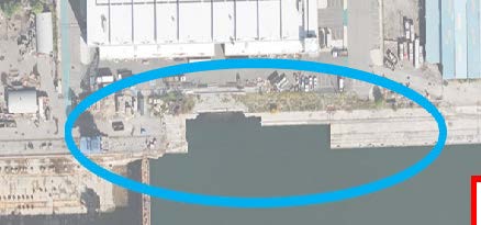
The South and East Jetties fell into disuse over the past 27 years. Today, they have continued to deteriorate to the point of becoming a safety hazard.
Early Beginnings
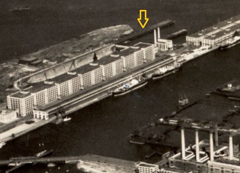
For over 100 years, the Port of Boston waterfront has included the South Jetty as part of its livelihood. This image from 1925, shows a working pier in the current South Jetty location.
(Image courtesy of Boston Public Library, Digital Commonwealth)
Naval History
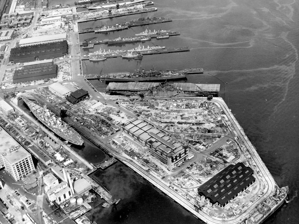
In the post-WWII era, the South Boston Naval Annex was a highly active waterfront location. Along with drydock and repair facilities, the South Jetty provided ships the ability to load and unload cargo and personnel.
(Image courtesy of National Park Service)
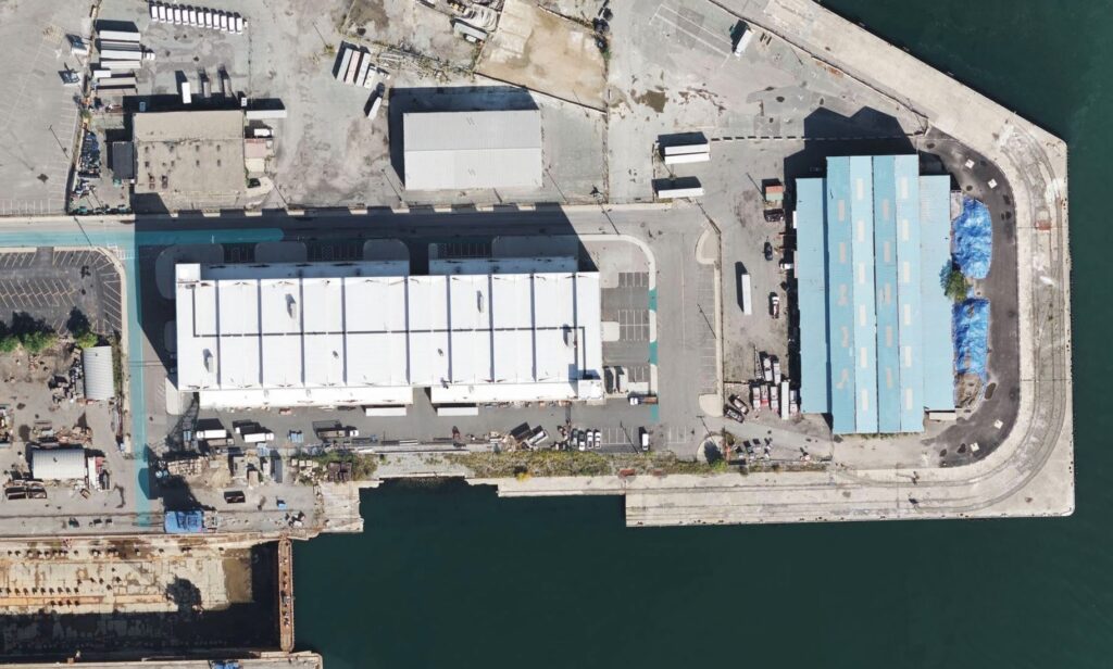
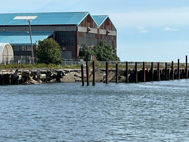
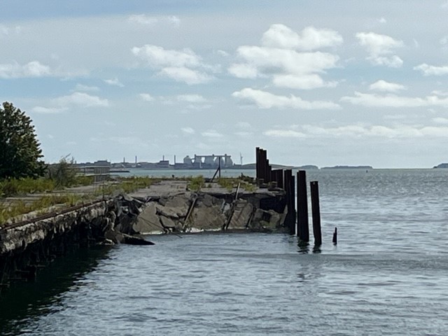
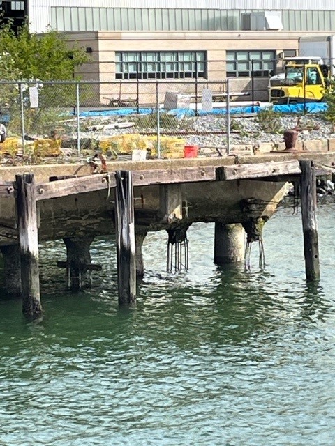
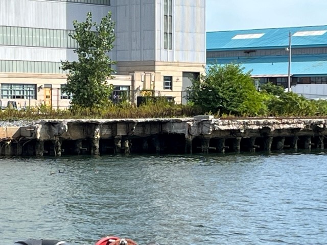
Current State
Over the years, the South Jetty has slowly become unusable due to erosion and eventual collapse. The adjacent photo shows a section of the Jetty missing with continued deterioration. Further collapsing of the Jetty will occur and create additional navigation and safety hazards.
Into the Future
The Port of Boston Marine Expansion and Decarbonization Project will fulfill Port of Boston’s non-container terminal needs, will help reduce carbon emissions by modal switching from road freight to ship freight and by reducing ships idling while at anchor, and will help the Port of Boston to grow. This initiative is the final step in modernizing the Port of Boston, demonstrating how infrastructure development can align with sustainability goals.